Hiking the Tetakawi
On a Friday morning in June, we put on our hats and sunscreen, loaded up on water, and headed out with plans to hike halfway up the Tetakawi trail.
I was in no shape to hike to the top. But like so many of our family adventures, I decided to keep going while I felt good, and then we had gone so far that we might as well go all the way to the top!
What sealed the deal was passing another group on their way down. They told us it was only another 20 or 30 minutes, so up we went!
The walk back down was rough on this old mama, but I made it!
The trail opens at 6:00 a.m., and for a summer hike, I recommend starting early. Bring more water than you think, and protect yourself from the sun. We had some cloud cover, and if we hadn't, it might have been too hot for me.
The hike starts out as a walking path, but quickly you will find yourself stepping up a rocky trail. A quarter-mile in, there's a rocky peak with lovely views that makes a good turnaround point for a family with young kids or less ambitious hikers.
Past this point, the trail starts getting steeper, with lots of scree making for some tricky footing. Ropes have been installed in two sections, and I gladly made use of them.
In the last push to the top, I had to pull myself up on hands and feet, and this fraidy-cat stopped just short of the summit. It's just about a mile to the top, an elevation of about 200 meters (656 feet) above sea level.
My husband and kids pushed upwards, emerging southward through an opening to gorgeous views of the Sea of Cortez. It was a narrow trail from there to the summit.
Looking east, they could see the Bahía and Marina San Carlos, with the city, the Bahía Delfín and the estuary beyond.
Looking west over Marina Real, they saw the many bays and sandy beaches out past La Manga 3 and beyond.
My husband took this gorgeous panoramic photo.
I imagine there would be great sunrise and sunset views from up there, but I wouldn't recommend hiking this trail in the dark, and the trail closes at 2:00 p.m. anyway.
So, our hike down began. My oldest son hung back with me, as my tired legs were shaky. It's a lot of careful steps down over loose rocks. I only fell once, earning a small scrape and a bruise.
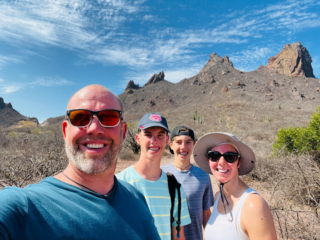
We took a victory selfie at the bottom.
My insulated bottle of ice water waiting in the car was a welcome treat, followed by a stop at Oxxo for a cold Coke on the way home.
It was probably a 2.5 hour hike for us, all told, including plenty of water and rest stops for me. Certainly a fitter group could do it faster.
But with cooler conditions and a steady pace, this strenuous hike is do-able for hikers who are healthy and steady on their feet. Mom says wear sturdy shoes and go for it! The views are worth it!
Here's the map to the parking lot.


Comments
Post a Comment